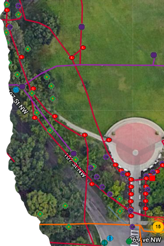
The need for the precise location of underground facilities is driving advancement and change within the locating and ground disturbance industries.
Clients receive critical Subsurface Utility Engineering infrastructure data with documented quality and accuracy.
National Locators utilizes PointMan® to bring quality and precise (cm accuracy) positioning with precision data.
Our line locators deliver professional quality locates with the option of 2D or 3D modelling.
Our standard 2D model can include either the CAD (Shapefile) and or KML files to document the located utilities and the facility infrastructure within the work area.
Our 3D model can also collects the same real time data but also will include additional information such as approximate depths and or frequencies utilized. This geographical data (KML) can be viewed in an app such as Google Earth.

Copyright 2022 @ NATIONAL LOCATORS. All rights reserved.

